
Thursday, 7 February 2019
About Globe: Latitudes and Longitudes << Learners Hobby
LATITUDES
All lines drawn parallel to the equator are called parallels of latitude.
Equator is an imaginary circular line. The equatorial line divides the Earth into two equal halves the Northern and the Southern Hemispheres. The equator helps to locate places on the Earth. Latitudes increases as we move away from the equator which has a latitude of 0 degree.
The important parallels are drawn on the basis of the angle of incidence of the Sun or the angle at which Sun shines overhead. These important parallels are the Equator (0degree), the Tropic of Cancer (23 and 1/2 N), the Tropic of Capricorn (23 and 1/2 S), the Arctic Circle (66and 1/2 N) and the Antarctic Circle (66 and 1/2 S).
HEAT ZONES
They divide the globe into three heat zones or temperature zones-Torrid, Temperate and Frigid. With the help of these parallels, we can broadly know the type of climate of a place.
EARTH'S INCLINATION
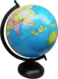
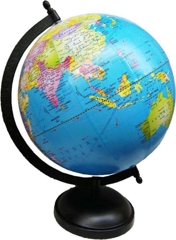
The Earth is slightly flattened at the poles and has a bulge in the middle. This shape can best be examined by looking at a globe. A globe is mounted angle as the Earth is in the space. The Earth is tilted at an angle of 23 and 1/2degree with the perpendicular to the place of the Earth's orbit. In other words, it makes an angle of 66and 1/2degree with the orbital plane.
The Earth's tilt also known as inclination produces two important results. Firstly, it makes the duration of days and nights unequal in different parts of the world. Secondly, on account of inclination, the sun rays doe not fall vertically on the Earth. This helps to moderate heat on the Earth. The present global warming and expansion of Atlantic Ocean might cause a slight change in the Earth's tilt over a period of thousand years.
We can understand this with the help of a simple activity. Light a torch against a straight surface and a slanted surface. The torch light covers a smaller area of the straight surface and a slanted surface. The torch light covers a smaller area of the straight surface. This is why it appears brighter. In case of the slanted surface, the torchlight covers a larger area. Hence, it gets diffused, and looks less bright.
LONGITUDES/MERIDIANS

All north-south lines on the lobe are meridians or lines of longitude. The longitude can be defined as the angular distance of a place east or west of the Prime Meridian. Prime Meridian is the semi-circle which the countries of the world have, with mutual consent, accepted as the baseline for all measurements of longitude.
It passes through the British Royal Observatory at Greenwich, near London. Its longitude was fixed at 0degree and is also known as Greenwich Meridian. At 1degree intervals, there are 180 longitudes each west and east of the Prime Meridian. The 180degree meridians of longitude east and west merge into one and is known as International Date Line.
GRID
A framework of intersecting lines of longitudes and latitudes at right angles is known as a Grid. The cardinal coordinate system is used to draw grid on globe.
These lines are helpful to us in many ways. Their major advantages are:
1. They help in defining the exact location of a place.
2. They help in measuring distances on a globe or a map.
3. On the map, we draw equidistant horizontal and vertical lines at given intervals. We can label the vertical and horizontal lines with longitudes and latitudes.
CARDINAL COORDINATE SYSTEM
A system of numbers in proper order is known as coordinate. This method can also be used to locate numbers or represent a line or point.
All lines drawn parallel to the equator are called parallels of latitude.
Equator is an imaginary circular line. The equatorial line divides the Earth into two equal halves the Northern and the Southern Hemispheres. The equator helps to locate places on the Earth. Latitudes increases as we move away from the equator which has a latitude of 0 degree.
The important parallels are drawn on the basis of the angle of incidence of the Sun or the angle at which Sun shines overhead. These important parallels are the Equator (0degree), the Tropic of Cancer (23 and 1/2 N), the Tropic of Capricorn (23 and 1/2 S), the Arctic Circle (66and 1/2 N) and the Antarctic Circle (66 and 1/2 S).
HEAT ZONES
They divide the globe into three heat zones or temperature zones-Torrid, Temperate and Frigid. With the help of these parallels, we can broadly know the type of climate of a place.
EARTH'S INCLINATION
The Earth is slightly flattened at the poles and has a bulge in the middle. This shape can best be examined by looking at a globe. A globe is mounted angle as the Earth is in the space. The Earth is tilted at an angle of 23 and 1/2degree with the perpendicular to the place of the Earth's orbit. In other words, it makes an angle of 66and 1/2degree with the orbital plane.
The Earth's tilt also known as inclination produces two important results. Firstly, it makes the duration of days and nights unequal in different parts of the world. Secondly, on account of inclination, the sun rays doe not fall vertically on the Earth. This helps to moderate heat on the Earth. The present global warming and expansion of Atlantic Ocean might cause a slight change in the Earth's tilt over a period of thousand years.
We can understand this with the help of a simple activity. Light a torch against a straight surface and a slanted surface. The torch light covers a smaller area of the straight surface and a slanted surface. The torch light covers a smaller area of the straight surface. This is why it appears brighter. In case of the slanted surface, the torchlight covers a larger area. Hence, it gets diffused, and looks less bright.
LONGITUDES/MERIDIANS

All north-south lines on the lobe are meridians or lines of longitude. The longitude can be defined as the angular distance of a place east or west of the Prime Meridian. Prime Meridian is the semi-circle which the countries of the world have, with mutual consent, accepted as the baseline for all measurements of longitude.
It passes through the British Royal Observatory at Greenwich, near London. Its longitude was fixed at 0degree and is also known as Greenwich Meridian. At 1degree intervals, there are 180 longitudes each west and east of the Prime Meridian. The 180degree meridians of longitude east and west merge into one and is known as International Date Line.
GRID
A framework of intersecting lines of longitudes and latitudes at right angles is known as a Grid. The cardinal coordinate system is used to draw grid on globe.
These lines are helpful to us in many ways. Their major advantages are:
1. They help in defining the exact location of a place.
2. They help in measuring distances on a globe or a map.
3. On the map, we draw equidistant horizontal and vertical lines at given intervals. We can label the vertical and horizontal lines with longitudes and latitudes.
CARDINAL COORDINATE SYSTEM
A system of numbers in proper order is known as coordinate. This method can also be used to locate numbers or represent a line or point.
Subscribe to:
Post Comments
(
Atom
)


No comments :
Post a Comment